County Coastal Roadway Sea Level Rise Viewer
MCOG has developed a map viewer where the public can view how County and City roads may be impacted by sea level rise, including impacts from sea level rise flooding and cliff erosion.
To access the viewer, please click HERE or on the image below.
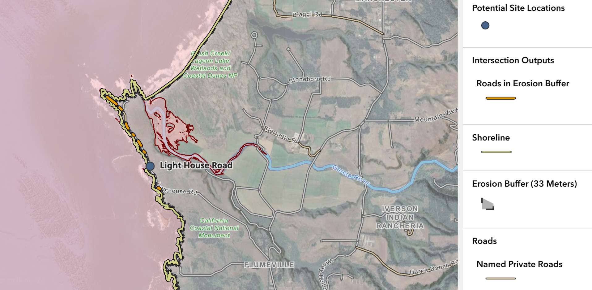
Image of Mendocino County Coastal Roadway Sea Level Rise Viewer